SPECIAL REPORT • LESOTHO
The nation provides water for 12 million South Africans
Searching together for deeper meanings
The wealth generated by Lesotho’s abundance of water has not prevented the country from experiencing decades of degradation of an increasingly vulnerable terrain. The government, civil society, and rural communities, with technical and financial support from the international community, are tackling the problem
BY Carla Fibla García-Sala | journalist from Mundo Negro, Maseru, Lesotho
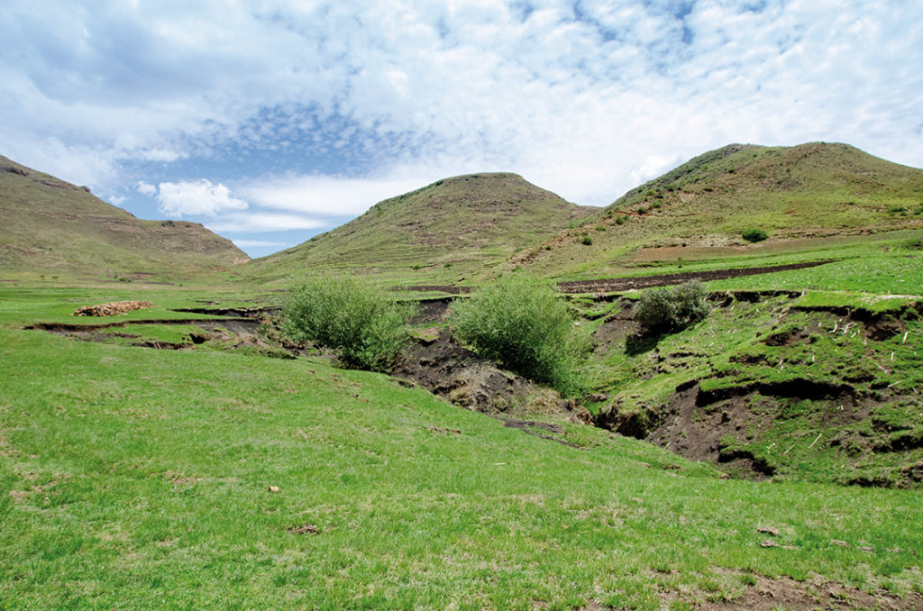
FLYING OVER Lesotho, one can clearly identify the border separating it from South Africa, which completely encircles one of the smallest countries in continental Africa. The gullies that can be seen, huge fissures in the earth, reveal the erosion which has been in action for decades and is currently being tackled with an international project led by the Department of Water Affairs with a budget of R620 million. Lesotho is known as the Kingdom in the Skies: two-thirds of its land area is mountainous and it is home to the highest peak in southern Africa, Mount Ntlenyana which reaches 3 482 m above sea level. Its 30 000 km2 area is home to just over two million people, with a per capita income of $1 187, five times lower than that of South Africa, despite having an essential natural resource, water.
Bordering South Africa’s KwaZulu-Natal region in the north, the Drakensberg Mountain range runs through the country, forming a plateau in the north that ranges in altitude from 2 700 to 3 200 m and is vital for livestock and agricultural industries, as well as being the main source of the Tugela River, which flows eastwards for more than 500 km, and the Orange River, which runs through the west of the country and is South Africa’s most important river. The Caledon River’s tributaries flow along the 100 km western border in the Maloti Mountains into the South African Free State. It is possible to see snow on its highest peaks, even in summer, and in winter temperatures drop below -20°C. Its drainage feeds the Senqu (Orange) River, which flows through Botswana and Namibia, into the Atlantic ocean. According to the World Wildlife Fund, The Lesotho Highlands is a bioregion—a space larger than an ecosystem—where the soil is composed of sandstone and shale, and covered by basalt.
Arteries of dry land
The Orange-Senqu, Tugela, and the tributaries of the Caledon Rivers are the sources of much of southern Africa’s fresh water, yet, being rural and commercially limited, Lesotho is one of the world’s least developed countries—165th out of 189 according to the Human Development Index. It is located, next to South Africa, one of the continent’s largest economies, which also has a topography that is more accessible and useful for livestock and agriculture.
Lesotho is known as the Kingdom in the Skies
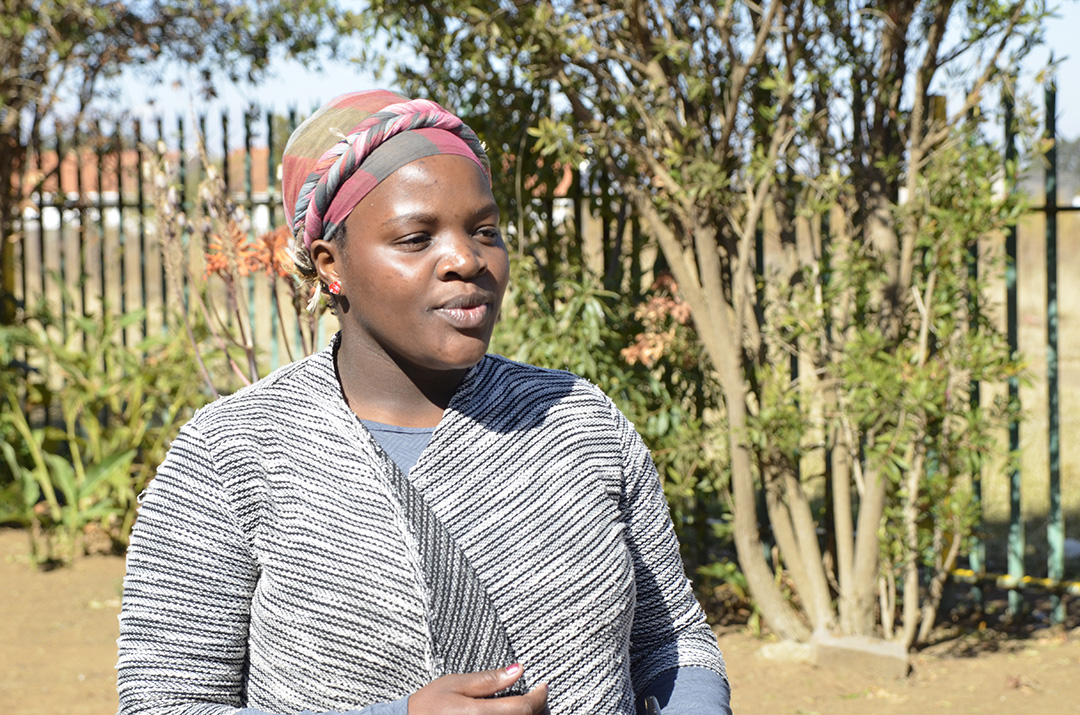
“The hillsides have elevations of between 1 800 and 2 100 m, dropping to 1 500 m in the lowlands. The mountain soils are of basaltic origin, shallow but rich, while in the lowlands it is sandstone underneath, so erosion has spread and severely damaged the whole territory”, explains Makomoreng Fanana, head of the Renoka movement, who works as a liaison officer between rural communities, civil society, and the government, to save both the land and the water that enriches the country.
“Renoka is an integrated management movement that means ‘We are one river’, implying that indigenous communities, professionals, experts, and individuals are all together, flowing in the same direction and we are stronger when we are united. Lesotho started to suffer from land degradation before its independence, but we have learned our lesson and we know that one institution alone cannot solve the problem, we need each other”, says Fanana, noting that his action is framed within the Department of Water Affairs, which is responsible for water control, water quality, quantity, sources, and management. “The main source of water is the wetlands, located in territories that are themselves managed by another ministry; we also have to take into account local government structures and tribal chiefs. To declare a wetland as a protected area, we have to agree and understand why and for what purpose the decision is made”, he says.
Integrated management
Ninety percent of Lesotho’s wetlands are in the northeast of the country and ensure that water flows down the rivers and reaches other regions in the south of the continent. “We aim to manage and protect the land and water, but also to improve the daily lives of the communities where the river sources are located, ensuring economic development and sustainable use for the future, for the current generation and those to come”, Fanana continues. The head of Renoka says that there were several attempts to solve land degradation, but they failed because “the approach was top-down, not balanced and horizontal”, and success was limited to the duration of the projects. “Now we are increasing people’s knowledge of what is happening and investing in behavioural change, developing community-based interventions”, Fanana says. Mokake Mojakisane, Water Commissioner, is leading this major project to combat land degradation. He has the same vision as Fanana in solving the problem: “We share water with South Africa, Botswana, and Namibia. The aim is that 70 m3 per second—currently 25 m3—will be transferred to the Vaal River in South Africa from Lesotho, to contribute 46% of its river capacity. In our programme, we integrate watershed management because our country is adversely affected by the misuse of land and the catchment areas, and it can be detrimental because we are a country with an abundant amount of water”, Mojakisane explains, noting that his country benefits from 50% of the hydroelectric power generated in the Highlands—the rest is imported from neighbouring countries. The government in Maseru, the capital, is contributing R80 million to the Integrated Catchment Management (ICM) project, which will be completed by the end of 2023.
“We aim to manage and protect the land and water, but also to improve the daily lives of the communities where the river sources are located”
The lack of financial resources in the country is preventing the development of domestic water sources from keeping pace with the population’s needs. “We have partners such as the European Union, the World Bank, the African Development Bank, the German Foreign Ministry, and Arab banks, among others, with whom we were able to build the dams that supply the country’s main cities. They target urban areas, yet, the villages in the rural areas, through which the pipeline passes, do not have access to that water. That’s what needs to be changed”, says Mojakisane.
South African dependence
Every year about 800 million m3 of water leaves Lesotho for South Africa. This fresh water is not always available to communities living near the dams due to access constraints. This forces local people to resort to unprotected water sources that often become the source of infections or cause outbreaks of diarrhea due to the consumption of contaminated water.
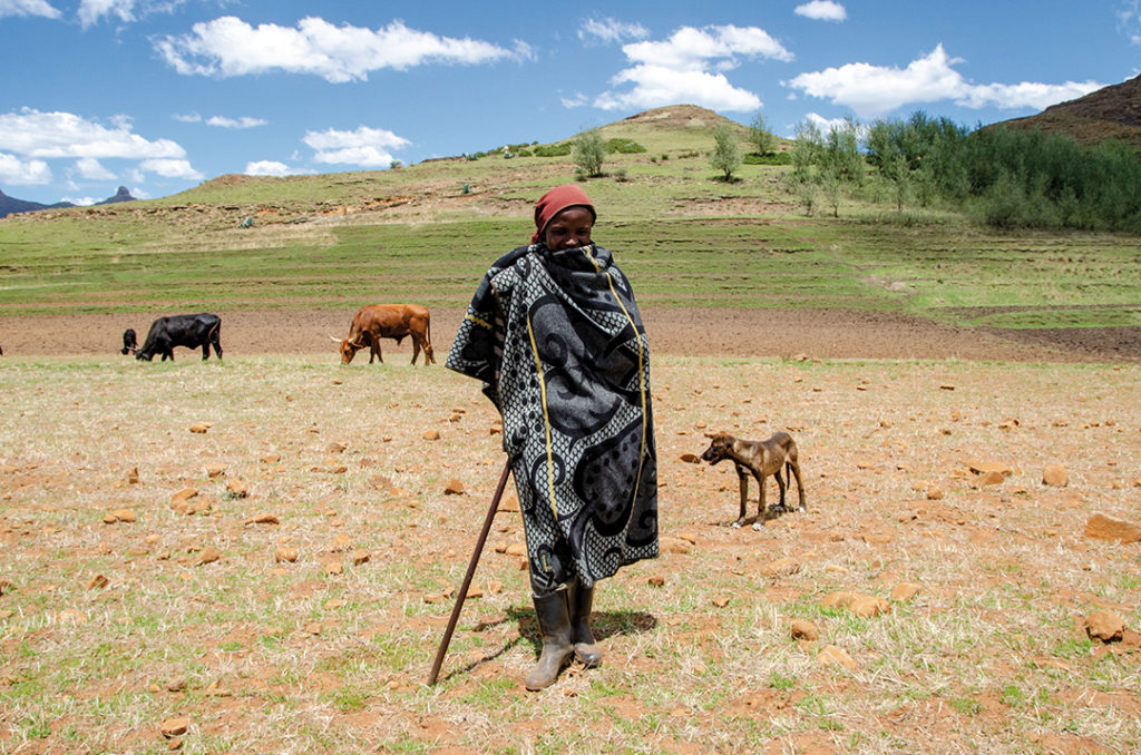
According to the Lesotho Highlands Development Authority (LHDA), between 1996 and 2020, Lesotho earned 11.2 billion Malotis (R11.3 billion) from selling 16 401 billion m3 of drinking water to South Africa. In 2020 it was more than R1 billion for 780 million m3, in what the Lesotho and South African authorities call “an example of successful regional co-operation”. On the ground, however, this has little impact on the standard of living of the people, who see their precious ‘white gold’ being extracted daily.
The contradiction of being surrounded by water to which they do not have open and free access is being addressed by Renoka, the Southern African Development Community (SADC), Caritas-USA, ORASECOM (Orange-Senqu River Commission), and funding from the European Union and the German Foreign Office, which implements the project through its co-operation agency GIZ (Gesellschaft für Internationale Zusammenarbeit).
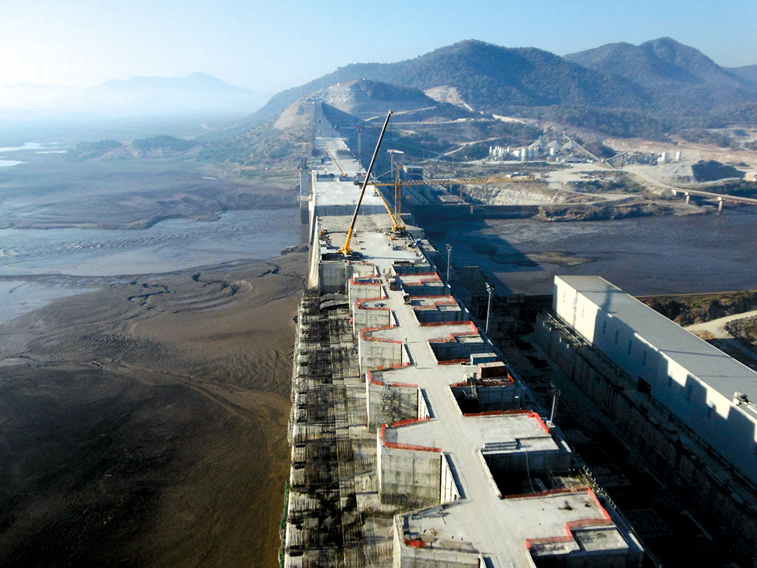
The LHDA is developing one of the most ambitious engineering projects in Africa. The Lesotho Highlands Water Project aims at collecting water—the average annual rainfall is over 1 000 litres per m2—from the country’s main rivers and creating large artificial lakes to store it. The water will be transferred through tunnels from the north to South African rivers that reach the Vaal River Dam, on which the densely populated urban and industrial areas of Johannesburg and Pretoria depend. The initial idea dates back to the 1950s, though it was not until 1986 that an agreement was signed, yet the second phase only began to unfold in the year 2 000. At that time, a sub-agreement was created which has not been considered again, although initially, it stipulated that it should be reviewed every 12 years.
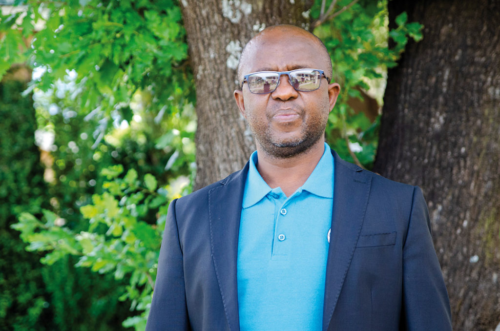
In the first phase, 27 000 people lost their homes and land after several official compensation agreements and resettlement schemes that were not without controversy. People living near the lakes suffered flooding. In 1995, the Katse Botanical Garden was established to rescue 149 types of plants affected by the flooding of the land. Animal species such as the Maluti Minnow—a fish less than five cm long and a perfect indicator of water purity—were impacted by reduced river flow. On the positive side, 4 000 temporary jobs were created for the construction and servicing of the Katse Dam, and another 1 000 at the Mohale Dam.
“A good deal with South Africa would be to increase the royalty paid for water exploitation and, in social terms, for Lesotho to ensure that the dams are not perceived as South African. The treaty should be revised to improve what we share and that its management is done by Lesotho because water is one of the natural resources on which we depend”, explains Mojakisane after highlighting the precariousness with which the land continues to be exploited.
Involving the population
Fifty kilometers south of Maseru, in the Puete (Ha Moitsupeli) wetland, there is hardly any water left. A young farmer watches from a distance as one of his cows gives birth to a calf that will soon be on all fours and be cleaned by its mother. He smiles with satisfaction as he tells us that he studies in the city, but whenever he can, he returns to the village to help his family in the fields. “I let the cows go wherever they want because there is no more water and they can graze wherever they like. They say that this area used to be very different”, he says, pointing to the ravine that has become the heart of the wetland.
“We are trying to disseminate the information to the communities to get the message across. We have done it in the north and this year it will be done in the south so that they understand that the ICM project aims to return the water to the land because we are not able to retain it. It is a work in progress”, adds Mojakisane, who stresses that this is a shared responsibility because the transfer of water depends on South Africa and the generation of electricity depends on Lesotho.
“The communities are part of the Renoka movement, it is a programme for change, and they are impatient for the interventions to start where they have not yet been implemented. They are ready, but we want the project to be owned by them, not imposed by Maseru. The communication chain works because the communities inform us, we have the technicians, we identify the challenges with them and they show us how these places used to be. We recognise the changes produced and what needs to be done”, says Fanana, after explaining that they are trying to recover the natural ‘sponges’ that retained water in the wetlands when it rained and then, in times of drought, filtered it into the ground, preventing it from drying out.
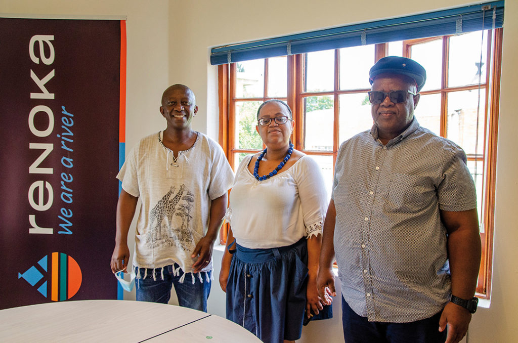
water experts and advocates and members of Renoka.
According to preliminary studies by several international organisations, corroborated by Renoka, between 63% and 80% of Lesotho’s wetlands have been lost since 2015. “There is no choice, we must act and implement projects that bring results, like what we are doing with the European Union and GIZ. We have proven that it is possible to reverse the degradation of some of the wetlands or stop their deterioration by allowing the land to rest and regenerate. We are changing land management practices and it is amazing how species that have been absent for 20 years are re-appearing”, concludes Fanana.
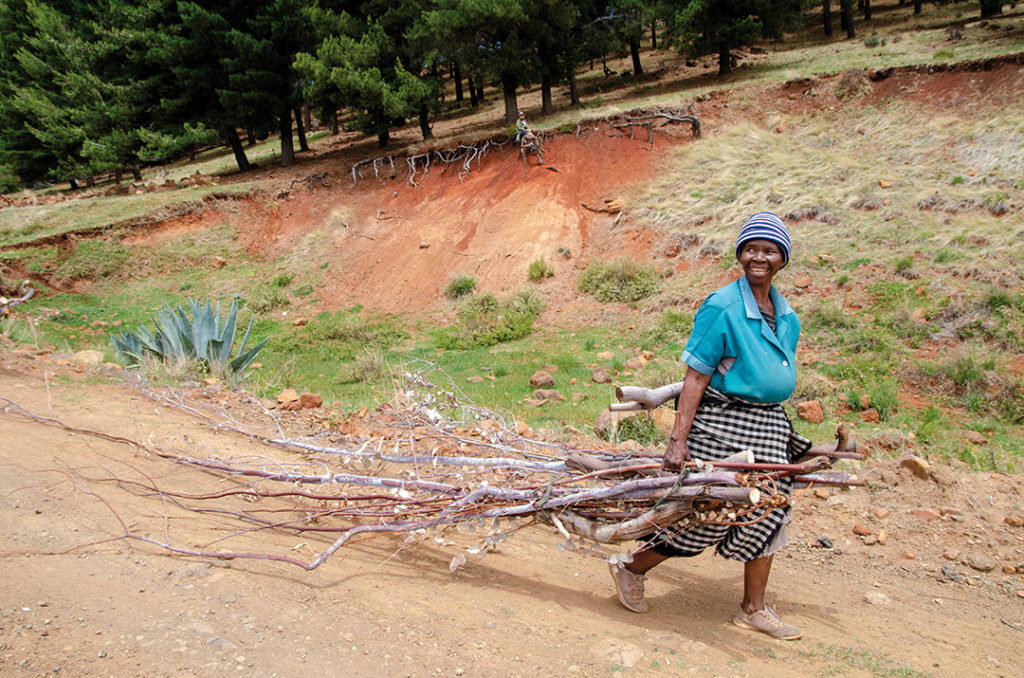
Investment in knowledge, such as understanding why waste needs to be removed, when and how to weed, picking up stones that spread erosion, and implementing water harvesting techniques, while including community involvement, are the keys to closing the cracks that pervade the country. At the moment, the Mohokare, Makhaleng, and Senqu catchment areas, which are home to six rivers, are implementing the ICM action plan that aims to provide ‘climate change-resilient socio-economic development in Lesotho”.

